
Solar System
Topographic Map of Vesta’s Surface Modeled onto Elliptical Shape
September 4, 1997 · NASA
A false-color topographic map, projected onto a model having Vesta's elliptical shape. A circular impact crater, with central peak, clearly dominates the southern hemisphere. The model has bee rotated at 90 degree intervals. The map is based on photo-analysis of Hubble Space Telescope images.
More Hubble images of Vesta
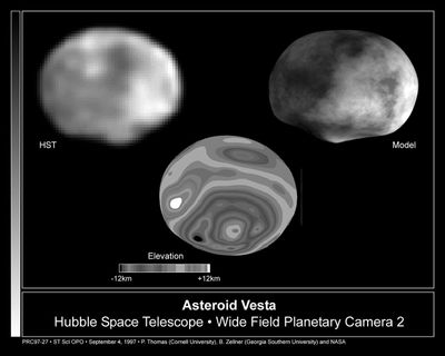 Hubble Reveals Huge Crater on the Surface of the Asteroid VestaSeptember 4, 1997
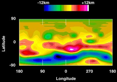 Topographic Map of Vesta’s SurfaceSeptember 4, 1997
VestaSeptember 4, 1997
Color-encoded Elevation Map of VestaSeptember 4, 1997
Computer Model of the Asteroid VestaSeptember 4, 1997
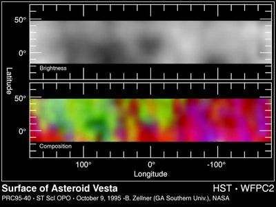 Hubble Maps the Asteroid VestaOctober 10, 1995
Hubble Follows the Rotation of the Asteroid VestaApril 19, 1995
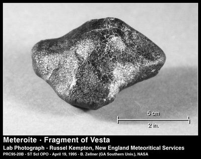 A Piece of the Asteroid VestaApril 19, 1995